




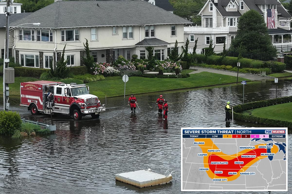
Through much of the week, the Northern Plains and Upper Midwest face a renewed flash flood threat driven by above-average heat and abundant moisture as multiple disturbances move through the region.
So far this summer, relentless rounds of heavy rainfall have left soils saturated, significantly increasing the risk of runoff.
Beyond the flash flooding, these same storms have been continuing to create a favorable environment for severe weather, placing over 20 million people at risk on Wednesday.
Overnight Monday into Tuesday, several wind gusts topping 75 mph were reported in South Dakota as an intense line of storms sliced through the region.
This follows severe storms that blasted across northern Minnesota on Monday, where the NOAA’s Storm Prediction Center (SPC) received at least six preliminary tornado reports.
Emergency shelters opened in Detroit Lakes, Minnesota, on Monday for residents displaced by the storm.
Meanwhile, communities in Walworth County, Wisconsin, including Lake Geneva, were still cleaning up debris and storm damage early this week after severe thunderstorms struck on July 3.
As high pressure remains anchored over the Midwest and a strong jet stream persists across the West, waves of moisture will ride along the northern periphery of the ridge.
This stronger jet stream will enhance atmospheric lift, promoting thunderstorm development, while abundant low-level moisture and instability provide a favorable environment for severe weather.
At the surface, a stalled front stretching from Nebraska through South Dakota and into Minnesota and Wisconsin will serve as the primary focus for storm development through Wednesday.
According to the FOX Forecast Center, severe storms look likely along the cold front creeping through the Midwest, which carries a level 2 out of 5 severe storm threat for damaging wind gusts.
Elsewhere, a few supercells may try to develop in Wisconsin, bringing an isolated tornado threat.
Additionally, the repetitive, slow-moving nature of these storms will also escalate the flash flood potential.
“Much like boxcars on a train track, individual thunderstorm cells will pass over the exact same piece of land, one after the other,” the FOX Forecast Center said.
NOAA’s Weather Prediction Center (WPC) has issued a Level 2 out of 4 flash flood threat through Wednesday across portions of Wisconsin, Iowa, Nebraska, and northern Kansas.
By Thursday, widespread rainfall totals of 1 to 2 inches are expected across parts of the Upper Midwest, including Minneapolis, Duluth, and Marquette, Michigan, with localized pockets exceeding 3 inches possible.
Many of these areas remain well above average for precipitation year to date, making them especially vulnerable to additional flooding.
Read the full article here